
Lawrence Neighbor Records by Source
A block search works best when each source answers one narrow question. Douglas County's Tax Parcel layer shows parcel boundaries, situs addresses, owner fields, legal descriptions, and identifiers. The Lawrence Atlas adds aerial, floodplain, historic-property, and neighborhood context. The city neighborhood page shows registered association boundaries and contacts. VoterView checks one named registrant only after an exact name and birth date are supplied. It cannot browse a street. Local archives help with older neighbors, but every directory or map must be tied to its date and edition.
| Source | What It Shows About a Block | Access |
|---|---|---|
| Tax Parcel GIS | Adjacent polygons, situs, owner fields, PID, legal description, book and page | Public map and REST query |
| Lawrence Atlas | Address position, aerial views, floodplain, historic property and city layers | Public viewer |
| City neighborhood page | Registered association boundaries, contacts and CDBG geography | Public map and list |
| VoterView and Elections | One registration match or controlled county-level records | Name search or statutory request |
| LPL, Watkins and Spencer | Dated directories, maps and neighborhood collections | Digital collection or reading room |
Ownership and occupancy must stay separate. A parcel owner can be a trust, business, estate, or person who lives at another address. A mailing field may point to an accountant or tax recipient. A directory entry is stronger evidence that a named person was associated with an address during that edition, but it does not prove who is there now. For current Lawrence neighbors, describe only the role and date the record actually supports.
Lawrence Neighborhood Boundaries
The Lawrence Neighborhood Association Information page maintains an interactive boundary map, registered association contacts, an update form, and reports for associations that receive Community Development Block Grant support. The Lawrence Association of Neighborhoods also publishes monthly updates. Those materials show civic geography and a public point of contact. They do not create a citywide member directory.
The official neighborhood page is useful for deciding which group may discuss a street project, planning case, or local meeting. Read the live map because boundaries and contacts can change. Oread, Pinckney, East Lawrence, Brook Creek, and North Lawrence also appear in local digital-history collections, but an archival collection does not prove present association membership.
The city's registered-association screen shows how the boundary and contact tools are presented.
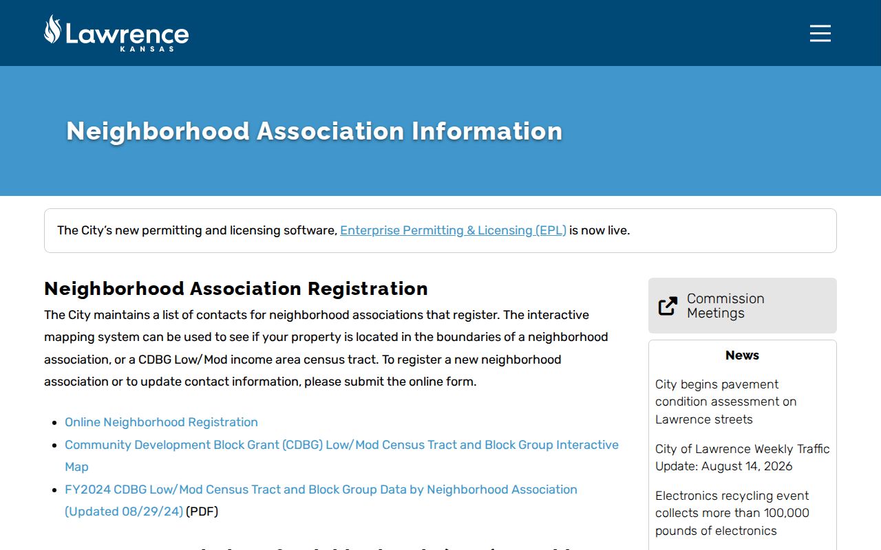
Use the published boundary as context for the block, then contact the association directly about its current meetings or voluntary membership.
Map Lawrence Neighbors by Parcel
The county parcel map has no single neighbors button. Adjacency is found by locating one polygon, recording its Quick Ref or PID, then identifying the polygons along each shared edge. A parcel is a mapped tax unit. Its legal description ties that shape to recorded land, while the situs field gives the location used for the property. A corner touch alone may not make two lots true adjoining parcels.
- Find the full address in the Douglas County Property Viewer and record the target parcel identifier.
- Pan along each shared boundary and identify the adjoining polygons, watching for alleys, roads, common areas, and condominium relationships.
- Compare situs, mailing, owner, legal-description, subdivision, deed, book, and page fields. Do not turn an owner field into an occupant claim.
- Save the map layer date and query date. For every parcel on a named road, continue with the street-directory process.
The Tax Parcel service supports Identify, Query, result ordering, pagination, and geometry output. Those tools are enough to test a block carefully, but the map is not a legal survey. The Lawrence street directory explains how to move beyond the immediate block and follow address records down an entire street.
Three Lawrence Boundary Layers
A parcel edge, neighborhood line, and ZIP boundary answer different questions. Parcels show tax geography. Registered-neighborhood boundaries organize civic contacts and grant reporting. ZIP codes route mail and can cross the places residents think of as neighborhoods. None of the three proves that two people know each other or share an organization.
East Lawrence makes the distinction clear. City historical material dates the neighborhood to September 1854 and describes a varied area shaped by downtown, rail, and industrial history. That context can explain building forms and street patterns better than a modern postal label. Use current layers for current boundaries and historical maps for the block's earlier setting.
The Kansas Historic Resources Inventory adds property-history context beyond the current tax map.
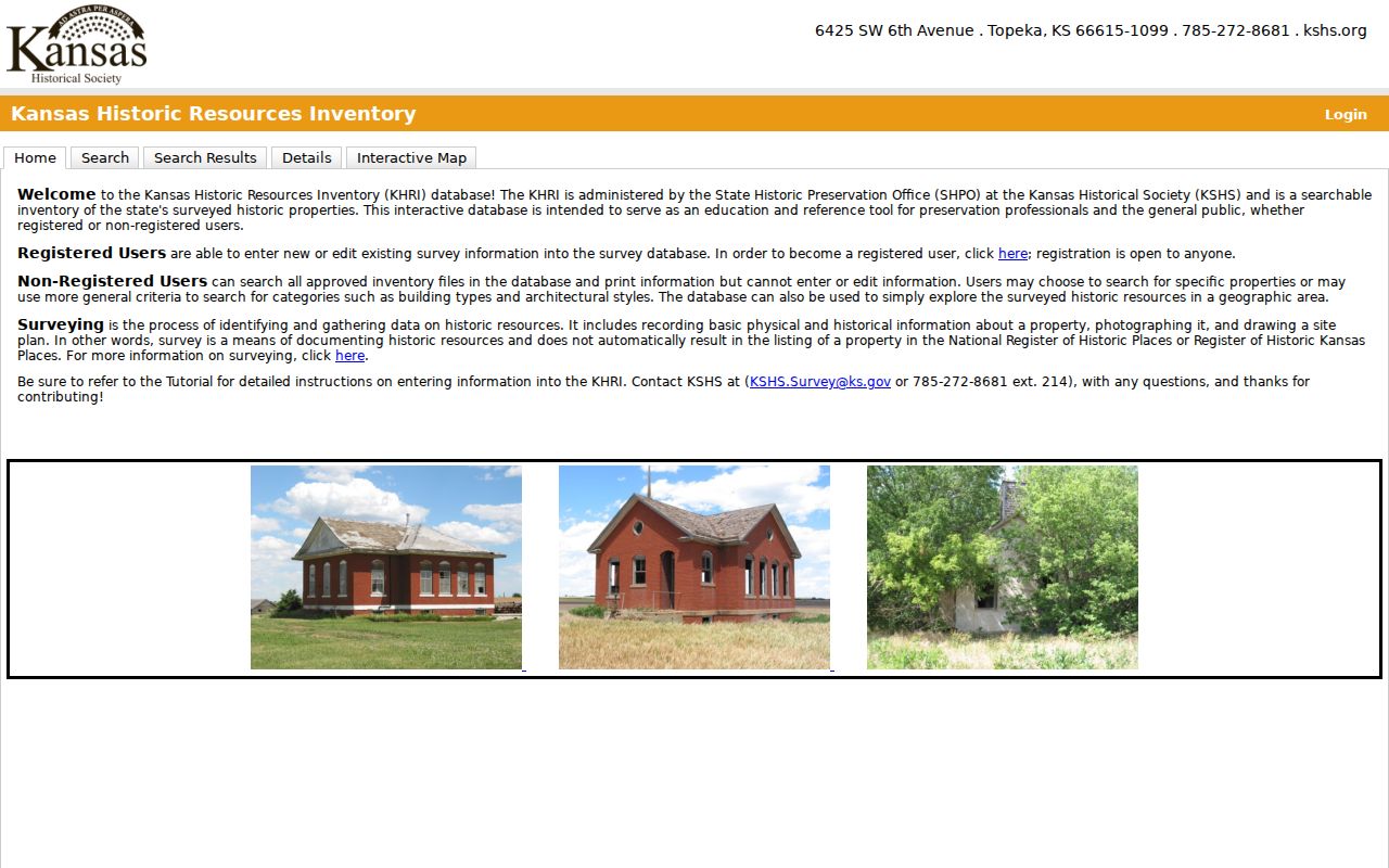
A historic inventory result describes a resource and its recorded setting; it is not a current resident entry.
Note: Record the date and purpose of each boundary before comparing Lawrence neighbors across layers.
Lawrence Block Activity Records
Addresses also appear in project and civic records. Lawrence launched Citizen Connect in April 2025 for permits, planning, code, and licensing data. It supports location, use, date, and application filters, downloads, and area alerts. A result may identify a project, applicant, permit, or case. That role is not proof that the person lived next door.
The city's Citizen Connect launch notice documents the portal change.
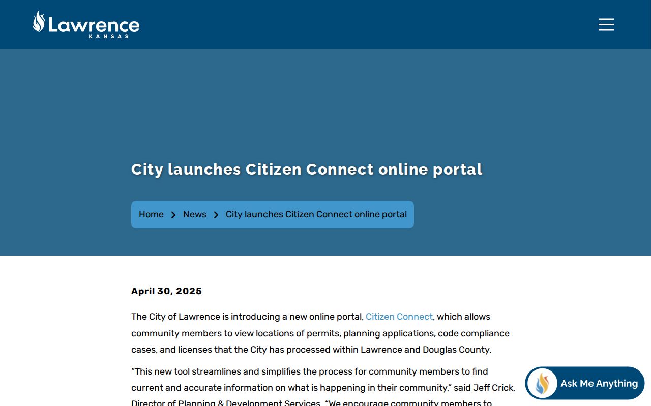
Use the location filter to understand visible work near the target block, then retain the application type, date, and status so the record is not mistaken for a household listing.
City Atlas layers add aerial, floodplain, zoning, neighborhood, water, and sewer context. Layer dates vary, so a captured result needs the date shown by the map. Older projects may still require a Kansas Open Records Act request to the department that created the file.
Past Neighbors on a Lawrence Block
Current parcels can be compared with old directories, Sanborn maps, aerial photographs, and neighborhood collections. The strongest method uses three witnesses: a dated directory entry for the name and printed address, a period map for the building or lot, and the present parcel polygon for modern geography. Each witness has a different job.
Lawrence Public Library and Digital Douglas County History hold directory and phone-book material. Watkins Museum adds maps, abstracts, photographs, clippings, and neighborhood files. KU's Spencer Research Library holds county tax, court, probate, and map collections. Preserve the directory year and page, the map sheet, and the current parcel ID. Street direction matters because dropping East or West can shift a match to another block.
A deceased person's neighborhood trail may also continue through the Lawrence cemetery search.
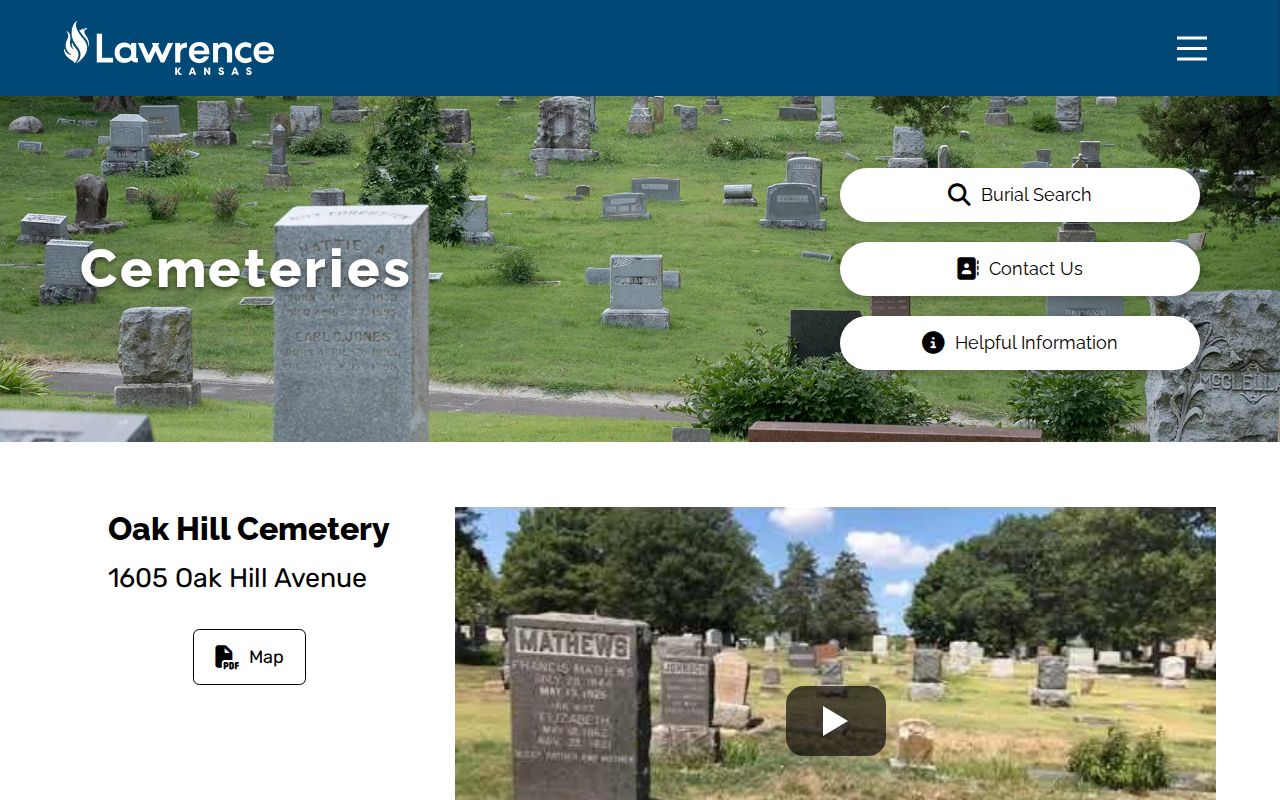
Burial maps and memorial pages provide historical clues, not a current address or a full vital record.
Protect a Lawrence Property Record
Neighbor research can reveal an unexpected recording tied to a parcel. Douglas County's Landmark Recording Activity Notification, also called Fraud Alert, lets a property owner ask for notice when a document is recorded under a selected name. The alert does not settle title or prove fraud. It is a prompt to inspect the official instrument and contact the Register of Deeds.
The Landmark Fraud Alert page is the official enrollment point.
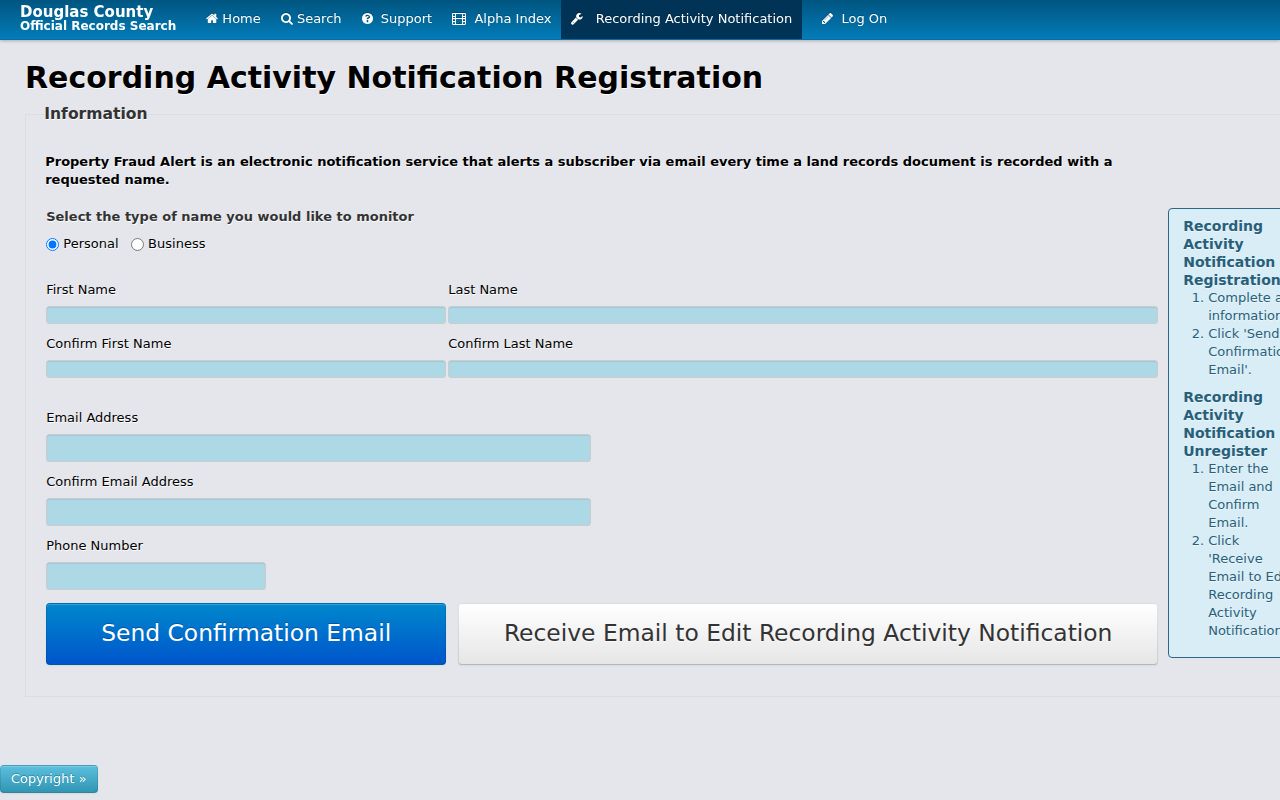
When a notice looks suspicious, use the recorder's published contact details rather than a phone number or payment link in an unsolicited message.
This is a defensive use of public records. It keeps the focus on one's own parcel and a recorded document, not on compiling names from the surrounding block.
Official Lawrence Records or Search Tools
Commercial neighbor-search tools may merge public and purchased data into an easy profile, but the source date and role can be hard to see. Official records take more work and still have limits. Their advantage is provenance: the user can tell which agency made the record, why it exists, and when it was updated.
| Choice | Useful for | Main caution |
|---|---|---|
| County parcel and deed records | Ownership, parcel geometry, legal descriptions, recorded parties | Owners and deed parties are not automatically occupants |
| City and neighborhood records | Boundaries, projects, public contacts and civic context | No universal association membership roster exists |
| Commercial search category | Possible leads to verify elsewhere | May be stale, merged, incomplete, or wrongly attributed |
Start with official fields, minimize copied names, and confirm any conclusion at the custodian. A missing web result only means the chosen system did not return one.
Privacy Limits for Lawrence Neighbors
Kansas public access is record-specific. A public deed, parcel card, voter field, or permit does not authorize combining every field into a personal profile. K.S.A. 45-230 restricts some uses of public name-and-address lists. Voter records carry added redaction and use rules under K.S.A. 25-2320, while the individual VoterView screen requires an exact name and birth date and offers no street browse.
Safe at Home gives eligible survivors a substitute legal address and mail forwarding. Stop if a record appears protected. Do not try to reverse-engineer the actual location. Utility, delivery, motor-vehicle, and private membership records are not part of a lawful block search. If an official record is wrong, send the correction to the agency that created it.
Lawful use. Lawrence neighbor records support civic curiosity, family history, and protection of one's own property. Never use them to watch, harass, threaten, or locate a protected person.
Kansas law also bars stalking conduct under K.S.A. 21-5427. Keep research proportionate: record parcel relationships and civic boundaries, not a bulk list of nearby people. Verify facts with the custodian, and leave private household members out of any published result.